
POC diary: European International Airport (Part 2)
Story
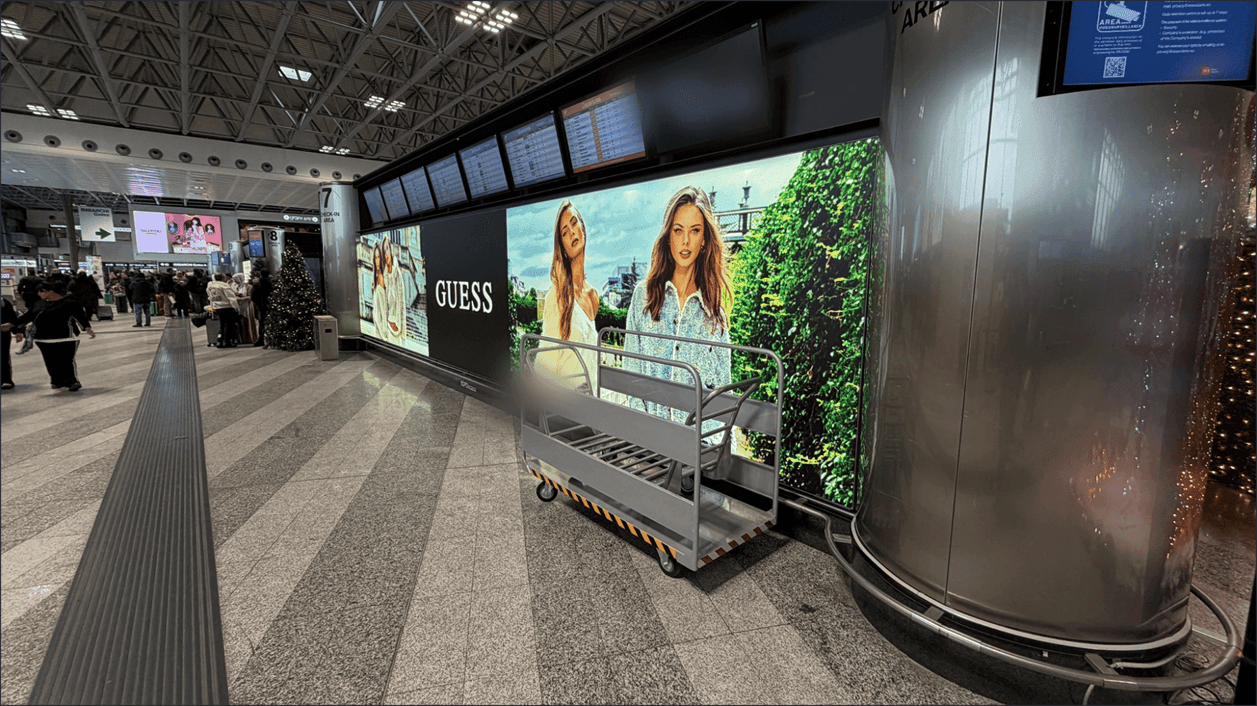
Continued from Part 1. Late that night, the dashboard showed a cart that should have been sitting in place, instead pinned to an unfamiliar coordinate hundreds of meters away. Was it a system error, or had someone moved it? The next morning, we went to find out.
The mystery coordinate, and a cart in a passenger’s hands
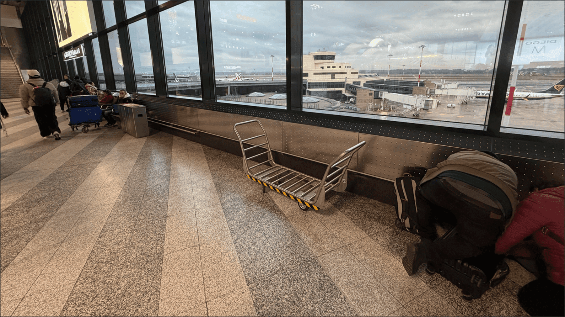
The next morning, as soon as we reached the airport, we followed the coordinate on the phone screen. It led to an area far from where we had left the cart, somewhere we would normally never have set foot. And sure enough, the cart was sitting right where the coordinate pointed.
It turned out a passenger had simply taken the cart to move their own luggage. The “Do Not Touch” sign was there, but to someone who needed a cart, it was no different from any other. This wasn’t a system error. The coordinate was correct, and BPIN had been following the cart’s real path the whole time.
That single confirmation made clear what this POC could show. Beyond simply “the location is accurate,” it showed that operational blind spots can be made visible in real time. Even with a sign on it, a cart moves wherever someone needs it, and an asset’s real path rarely follows the plan exactly.
Relocation tests, and accuracy by zone
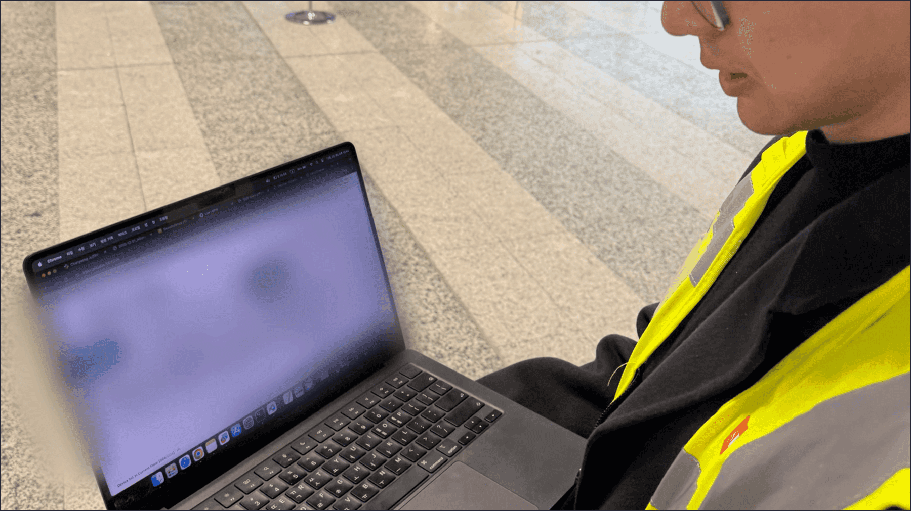
We spent that morning on model testing. We deliberately moved carts around and checked whether BPIN could keep up with each new position, repeating it across different zones. When a cart moved, the system detected the change 100% of the time. No matter where we moved it, the dashboard caught it.
Accuracy did vary by zone. The second-floor check-in area came in at 5 to 10 meters (about 16 to 33 feet). The basement baggage handling area was tighter, at 3 to 5 meters (about 10 to 16 feet). The basement was steadier mainly because of its layout: a straight, single corridor gives the Wi-Fi signal a more even environment. The second floor, with people and bags moving constantly, saw more signal variation. Even so, narrowing a cart to within a few meters across a terminal that stretches hundreds of meters was more than enough to find it and keep it moving.
These numbers became a baseline for the month ahead. They meant the team could start knowing which zones were steadier and what level of accuracy to expect.
The final presentation, and what came after

On Friday afternoon, the last day of the trip, we sat down with the airport team at 3 p.m. and walked them through five days of work. We laid it all out without holding back: data collection, model training, accuracy by zone, what worked and where the limits were. The response to the accuracy and the feature set was, on the whole, a satisfied one.
That assessment didn’t end in the meeting room. After we returned from the five-day trip, as we prepared for the December POC, the positive read on accuracy carried through our email exchanges as well.
What five days confirmed
What we confirmed over the five-day trip comes down to three things.
It can be deployed without an infrastructure burden. With no ceiling construction or new anchors, we built the positioning model using only the Wi-Fi the airport already had.
The on-site load is light. Two people finished data collection, model training, cart placement, testing, and the presentation within five days.
It goes beyond marking a location to showing operations. Every time a cart moved, the system caught it, and even paths that ran counter to the signs showed up in the data.
This trip by the numbers — People deployed: 2 · Days on site: 5 · New infrastructure installed: 0 · Assets tracked: 20 · Positioning accuracy: 3–10 m · Movement detection rate: 100% · Full POC duration: 1 month
The month that began on December wasn’t about proving a possibility. It was about confirming whether the system would be used every day inside a real winter operation. The five-day trip was the starting point for that month. It was also the first time we saw, firsthand, how BPIN performs in an environment as demanding as an airport.
This case involved oversized carts at an airport. But because BPIN works with the Wi-Fi already in place, it fits anywhere you want operational visibility without new infrastructure. Think of hospitals that lose time hunting for medical equipment, factories where tools and forklifts scatter, or warehouses with constant inbound and outbound flow. If you run an environment like that, reach out through Start with our solution.


Try Lite!